
Earthquake Rattles Plains States
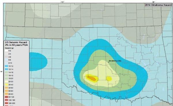
Seismic hazard map for the state of Oklahoma Wikimedia Commons
An earthquake centered in Oklahoma has rattled a swath of the Great Plains. The U.S. Geological Survey reports the quake struck at 7:02 a.m. Saturday, about nine miles northwest of Pawnee, a town of about 2,200 about 70 miles northwest of Oklahoma City.
The Pawnee County emergency management director says no injuries have been reported and no buildings have collapsed due to the quake.
The quake's magniture was measured by 5.6, which ties a 2011 temblor for the biggest on record in Oklahoma.
The U.S.G.S. also reports a 3.6 magnitude aftershock in the same area as 7:58 a.m.
People in Kansas City, Missouri, Fayetteville, Arkansas, and Norman, Oklahoma, all reported feeling the earthquake. The quake was also felt in Nebraska.
Oklahoma Gov. Mary Fallin says that crews are checking bridges and structures for damage after the 5.6 magnitude earthquake, which ties a 2011 temblor for the biggest on record in the state.
Fallin also tweeted that state officials want structural engineers to look at building safety in the wake of the quake, which the U.S. Geological Society happened at 7:02 a.m.
No major damage was immediately reported. The quake was felt as far away as Nebraska.
UPDATE 6 p.m.
Oklahoma Gov. Mary Fallin has declared a state of emergency in Pawnee County after a magnitude 5.6 earthquake struck northwest of Pawnee.
Fallin's order allows state agencies to make emergency purchases for disaster relief and is the first step toward asking for federal assistance, if necessary. She said in a statement that information is still being gathered and will be reviewed by her coordinating council on seismic activity.
The state of emergency lasts for 30 days and additional counties may be added.
Links
- How Common Are Earthquakes In Central Illinois?
- Illinois Test Runs Earthquake Response
- Quarry Blast, Not Earthquake, Shakes Northern Illinois
- New Madrid Seismic Zone Earthquakes in the Central USA
- Earthquakes: Illinois and Beyond
- The Big One: The Enormous Earthquake that Rocked Early America and Helped Create a Science
- U.S. Geological Survey Earthquake Hazards Program
- Mid-America Earthquake Center at University of Illinois
